-
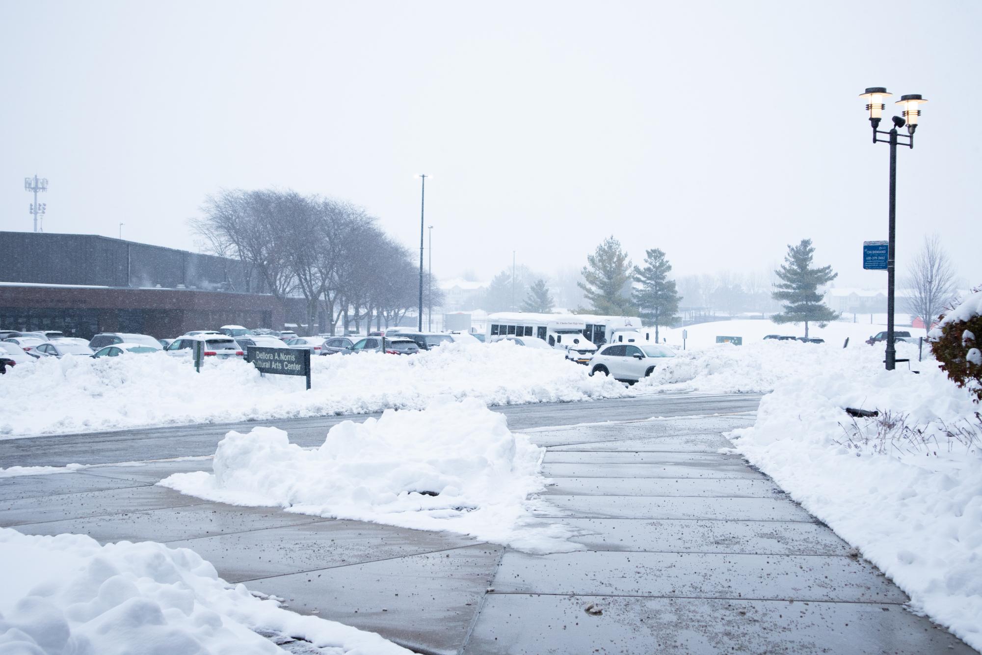
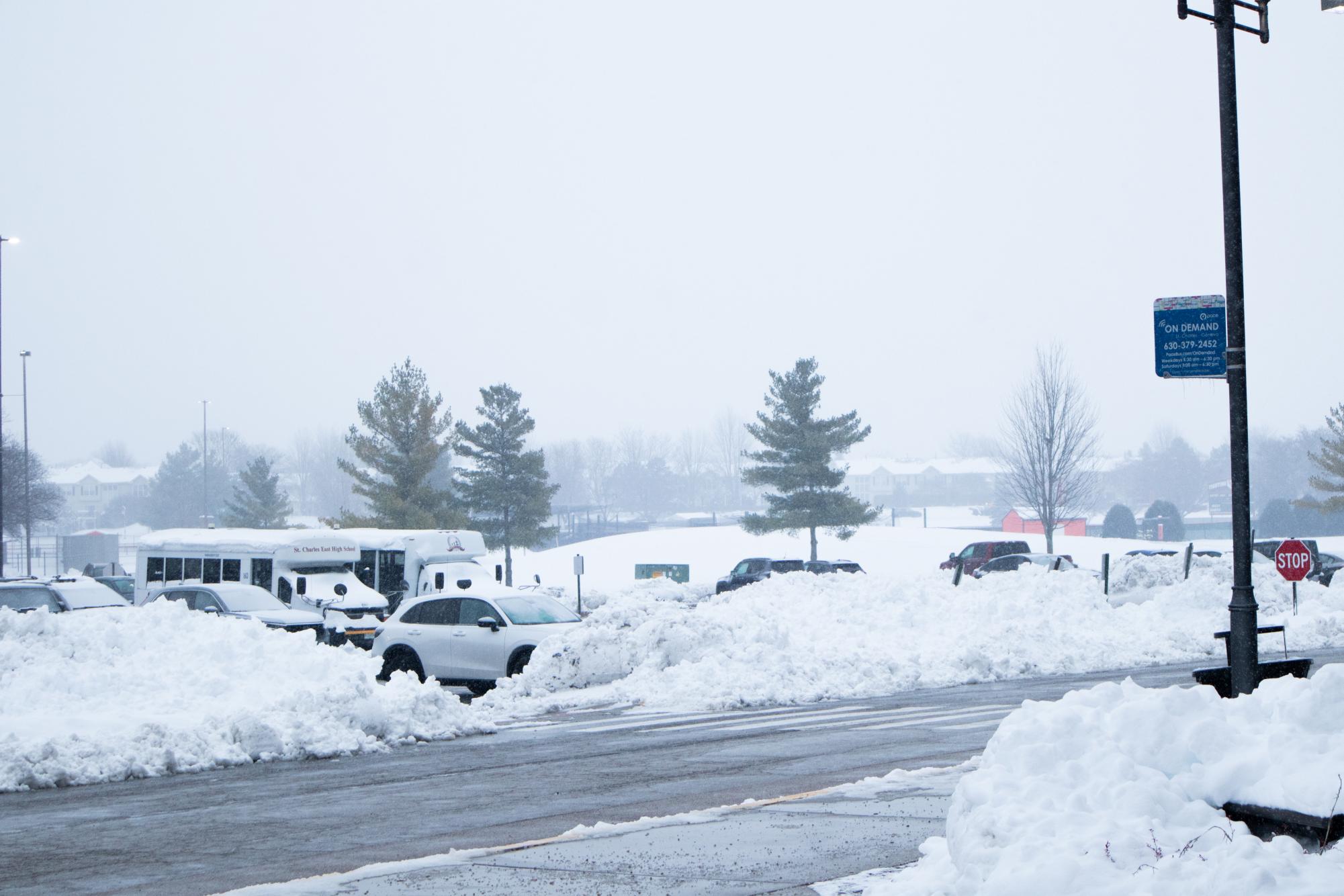
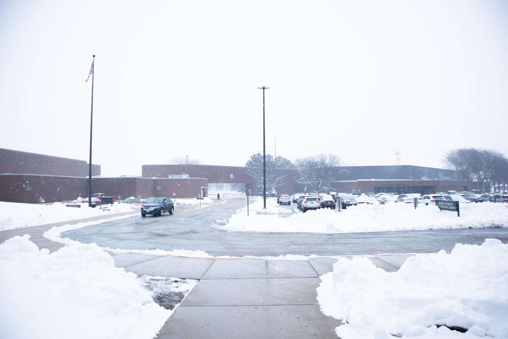
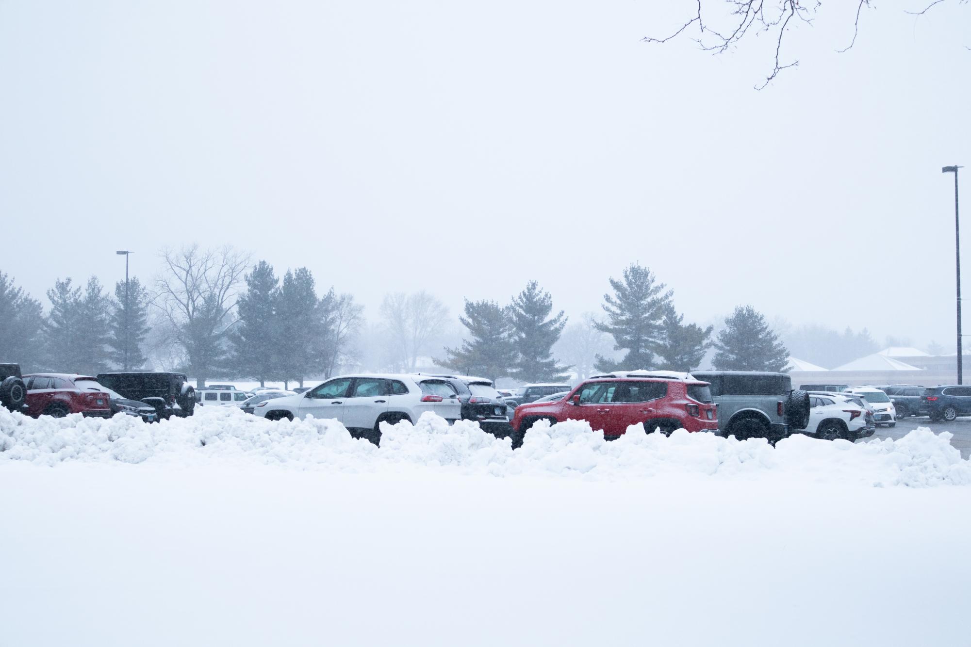
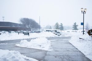
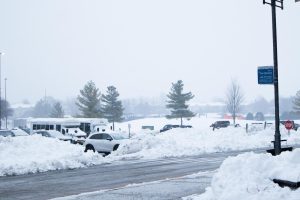
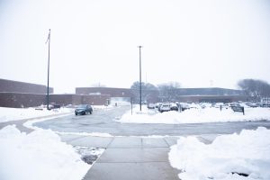
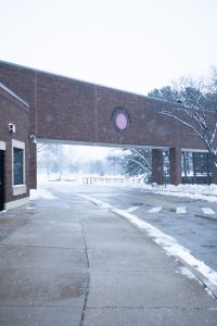
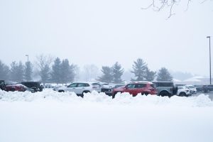
Snow covers the ground at East near the Junior parking lot. Photo by Hayden Kropp.

-
-
-
-
-
-
-
Dreams (or perhaps nightmares) of a white Christmas this year seem likely to come true for better or worse, and it’s all thanks to La Niña patterns. La Niña is a term for a weather phenomenon that occurs approximately every three to five years, resulting in cooler-than-average temperatures in the Northern Hemisphere and warmer-than-average temperatures in the Southern Hemisphere. This change in climate is caused by upwelling, which occurs when trade winds (winds that blow towards the equator) bring a surge of cold water to the surface. This build-up of cold surface temperatures causes a jet stream, a strong wind current flowing from east to west, to become colder and stronger than it typically would be, producing temperature drops throughout the Midwest.
This season, the National Oceanic and Atmospheric Administration (NOAA) has reported La Niña patterns. These patterns were indicated by wind anomalies and water temperatures in the Equatorial Pacific that are at least 0.5 degrees below the average, a downward trend observed since last July. From these reports, a La Niña advisory is currently in effect and is expected to continue throughout the winter months until February.
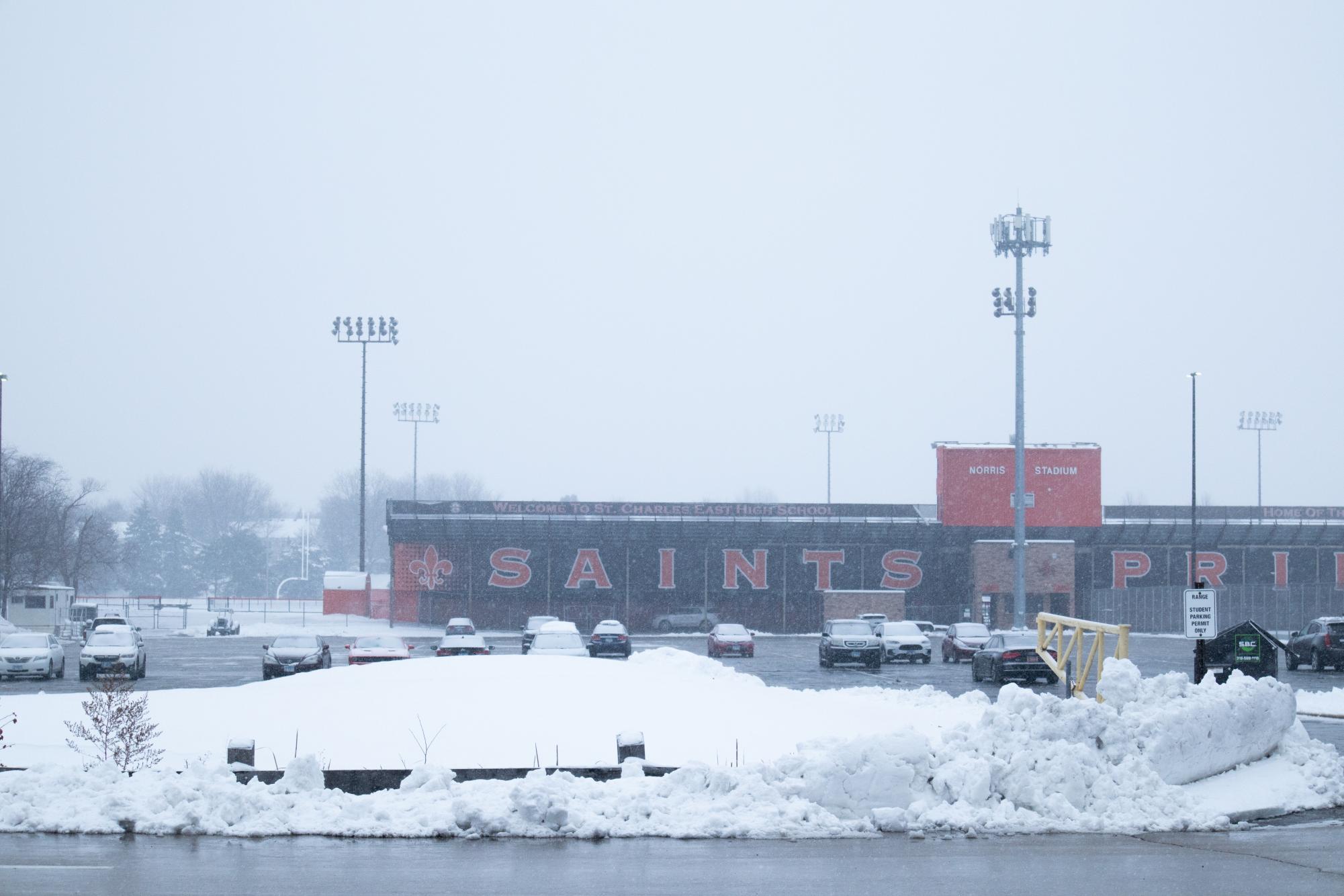
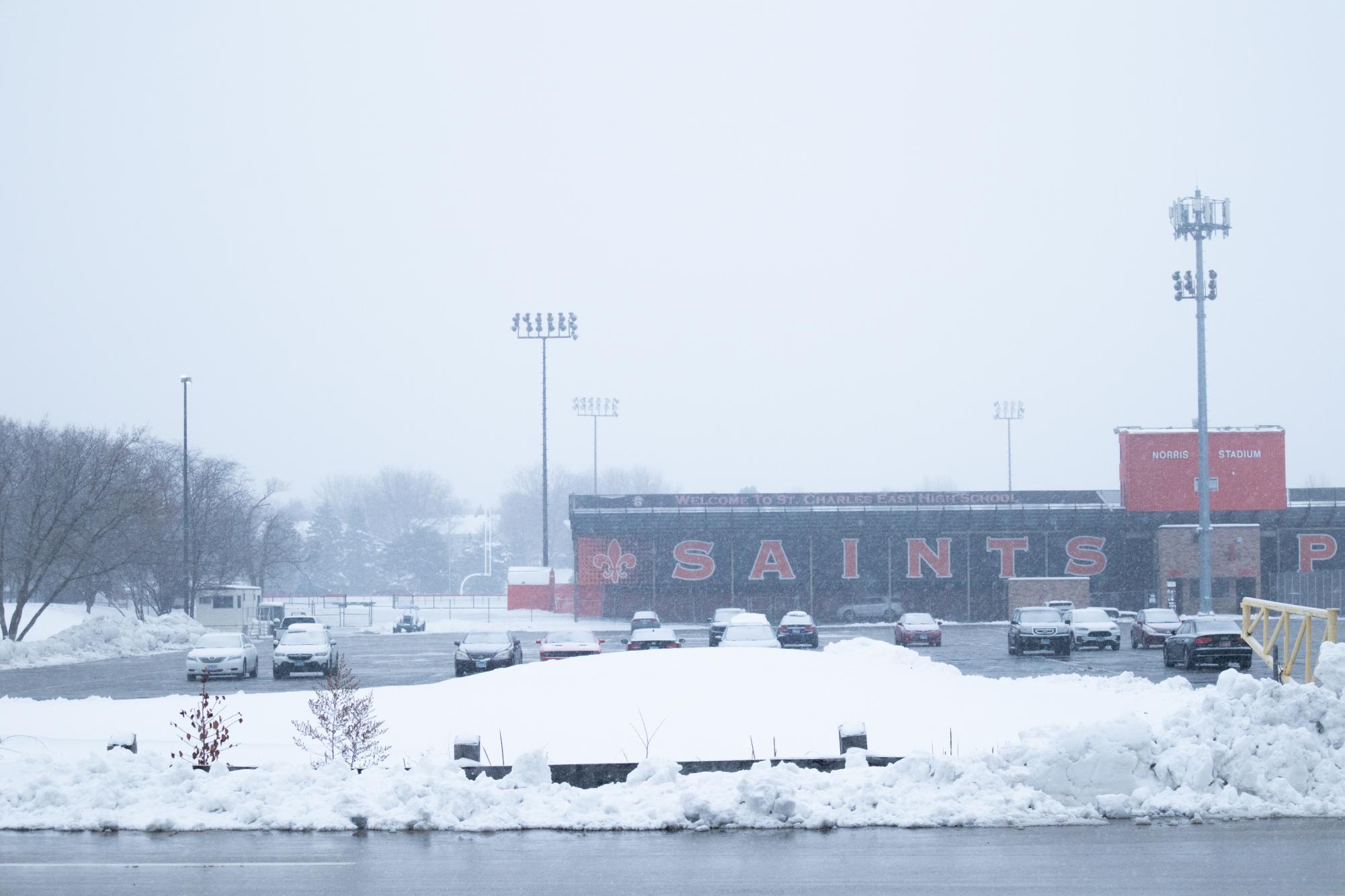
In northern Illinois, La Niña typically brings wetter, colder and snowier conditions during the affected months as arctic air flows through the lower levels of the atmosphere, and this year is no different. NOAA’s Climate Prediction Center forecasts that northern Illinois is favored to experience higher precipitation rates than usual. The National Weather Service also states, “below normal temperatures are favored for the central and northern U.S., including northern parts of the Pacific Northwest, the Great Plains, parts of Texas and the interior Mid-Atlantic.” It seems that St. Charles residents and other Chicago suburbians should brace themselves for a long and chilling winter, so keep those shovels handy.
What may also come as good news to snow-lovers is the Climate Prediction Center’s statement, “Heavy precipitation and heavy snow are also possible for portions of the Great Plains, much of the Mississippi Valley and across parts of the Upper Midwest and Northeast as a low-pressure system and associated front forms downwind of the Rockies.”
While it seems the odds are rising, nothing is definite yet; thankfully for those not fond of freezing temperatures, this year’s La Niña is expected to be weaker than in previous years. December is expected to be cold and stormy with snow and rain. According to global models, it’s expected La Niña will be at its height in December and early January. La Niña peaking so early in the season likely indicates that its influence will gradually decrease during late January and early February based on previous weather behaviors. This is not to say that impacts on climate, precipitation and snowfall will not be substantial or harsh, but it seems they will subside as the new year rings in.